

Luftwaffe/ Night-Raid Flight Navigation Map of the Soviet Near East (1942)
Description
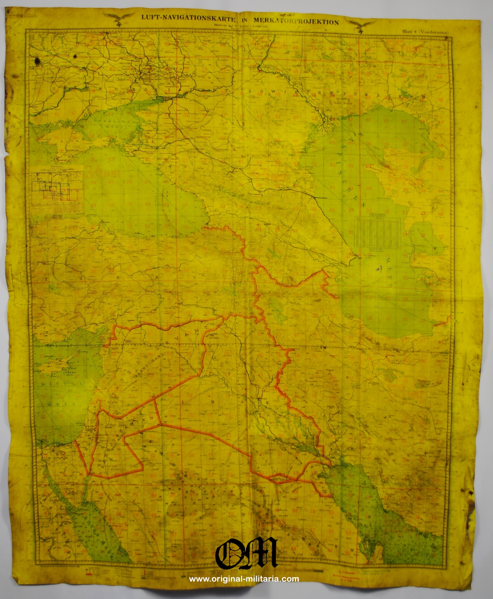
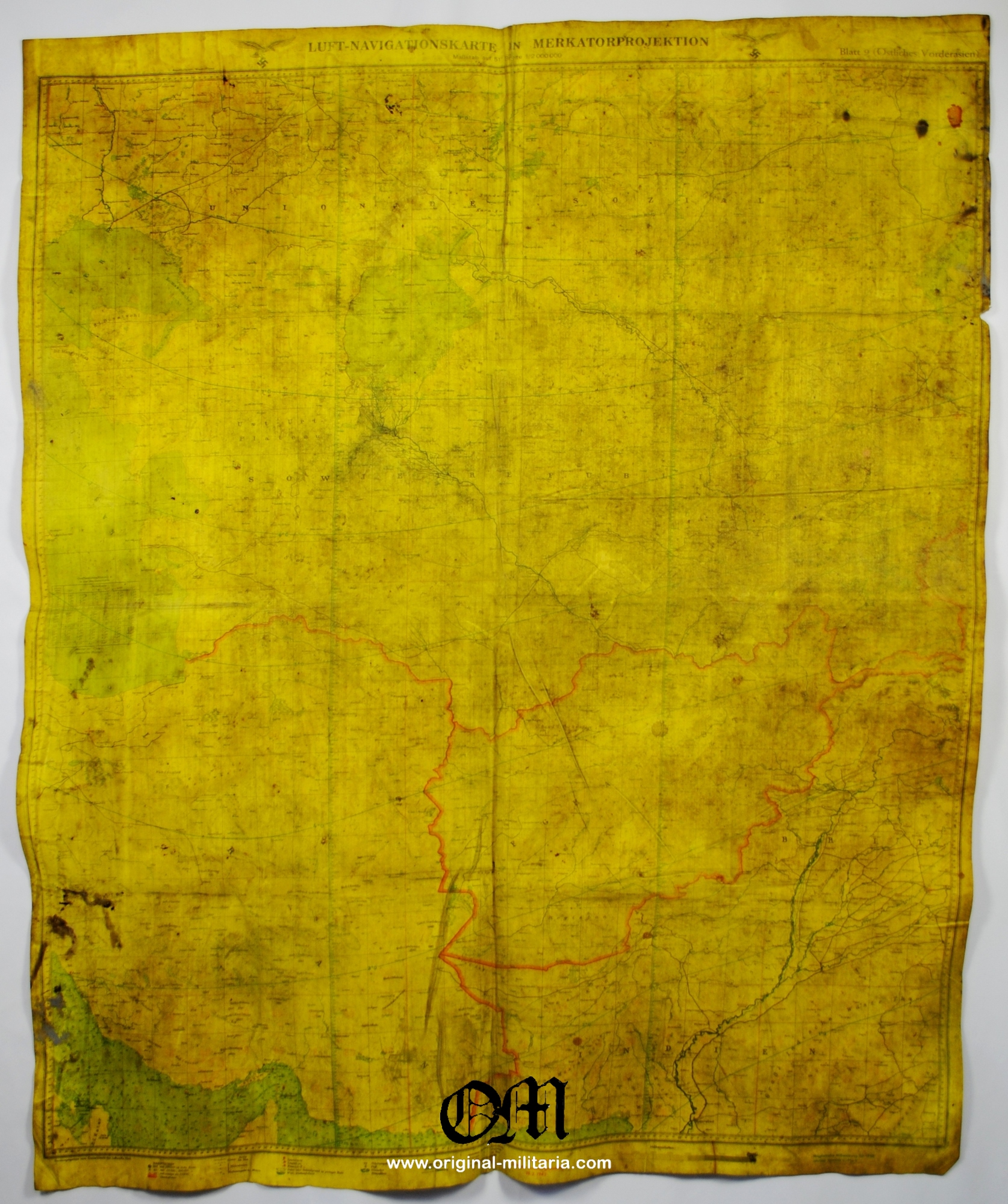
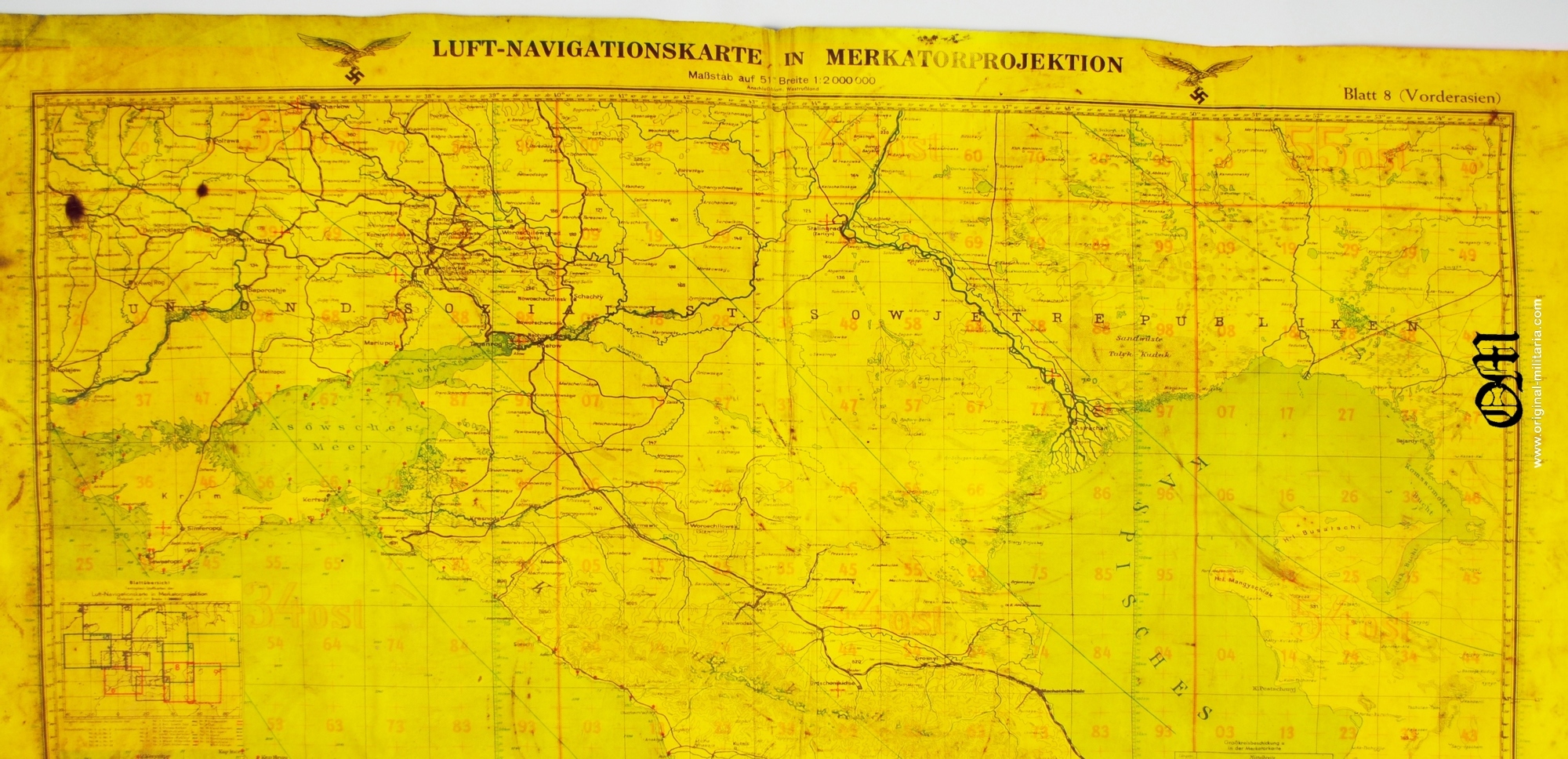
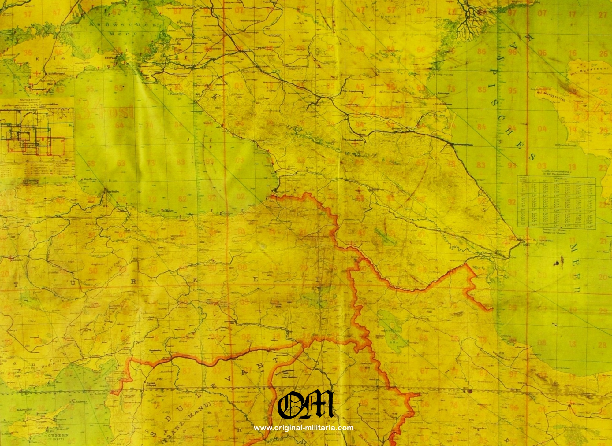
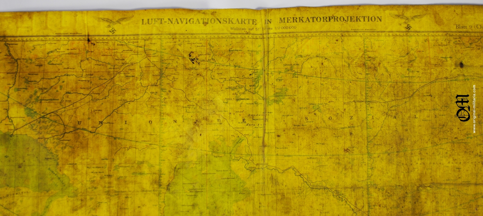
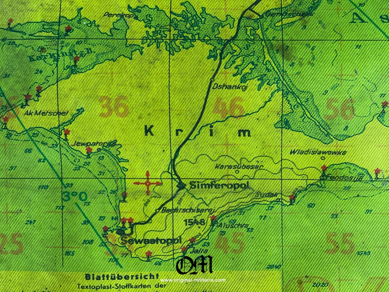
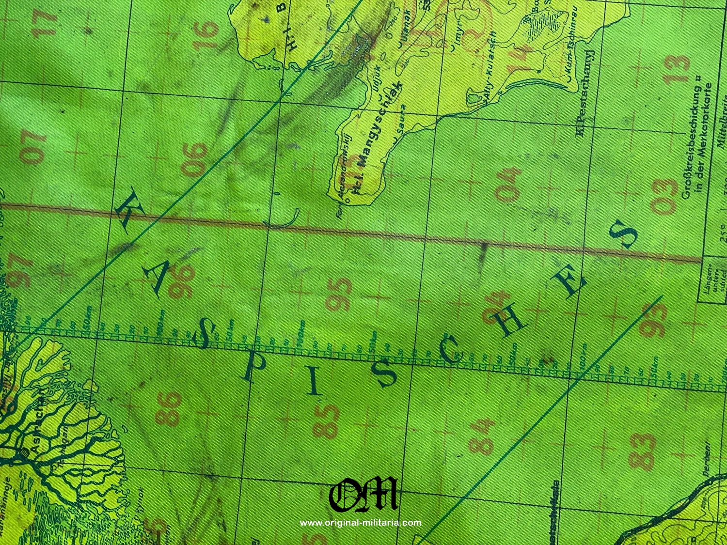
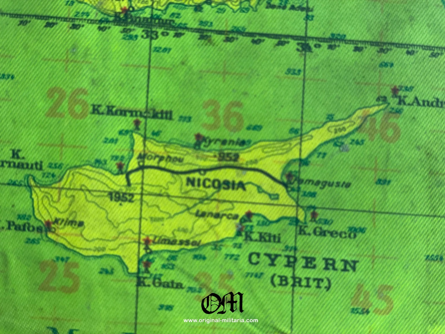
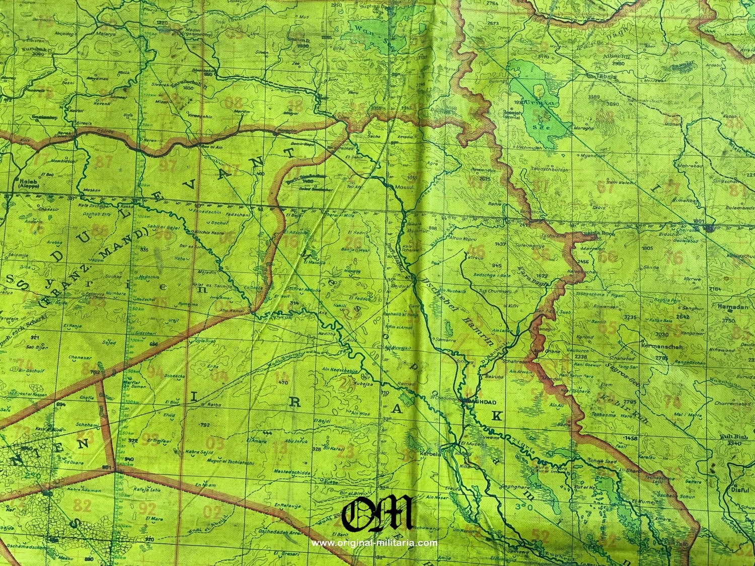
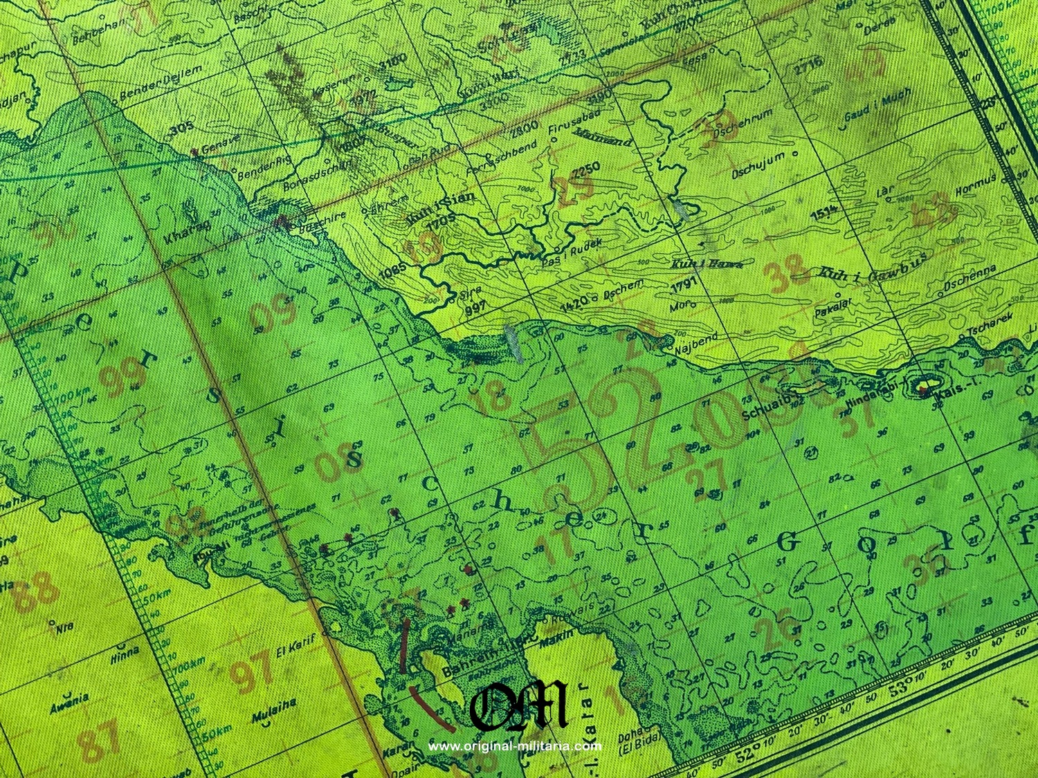
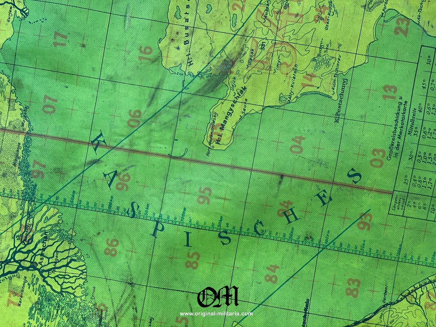
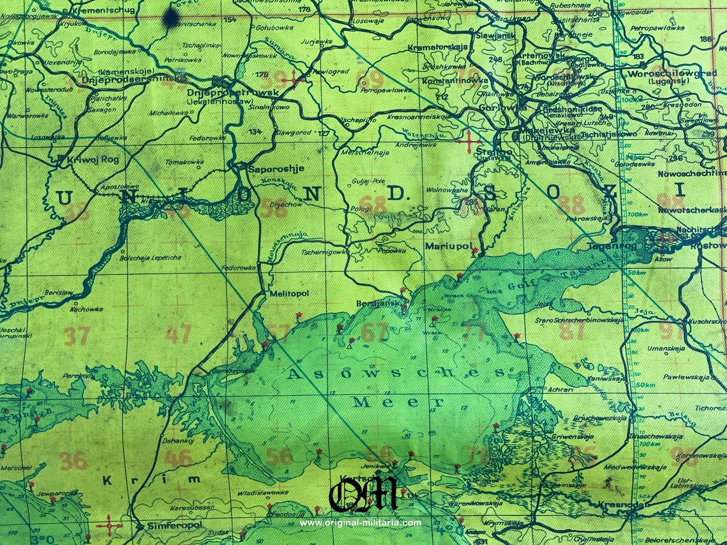
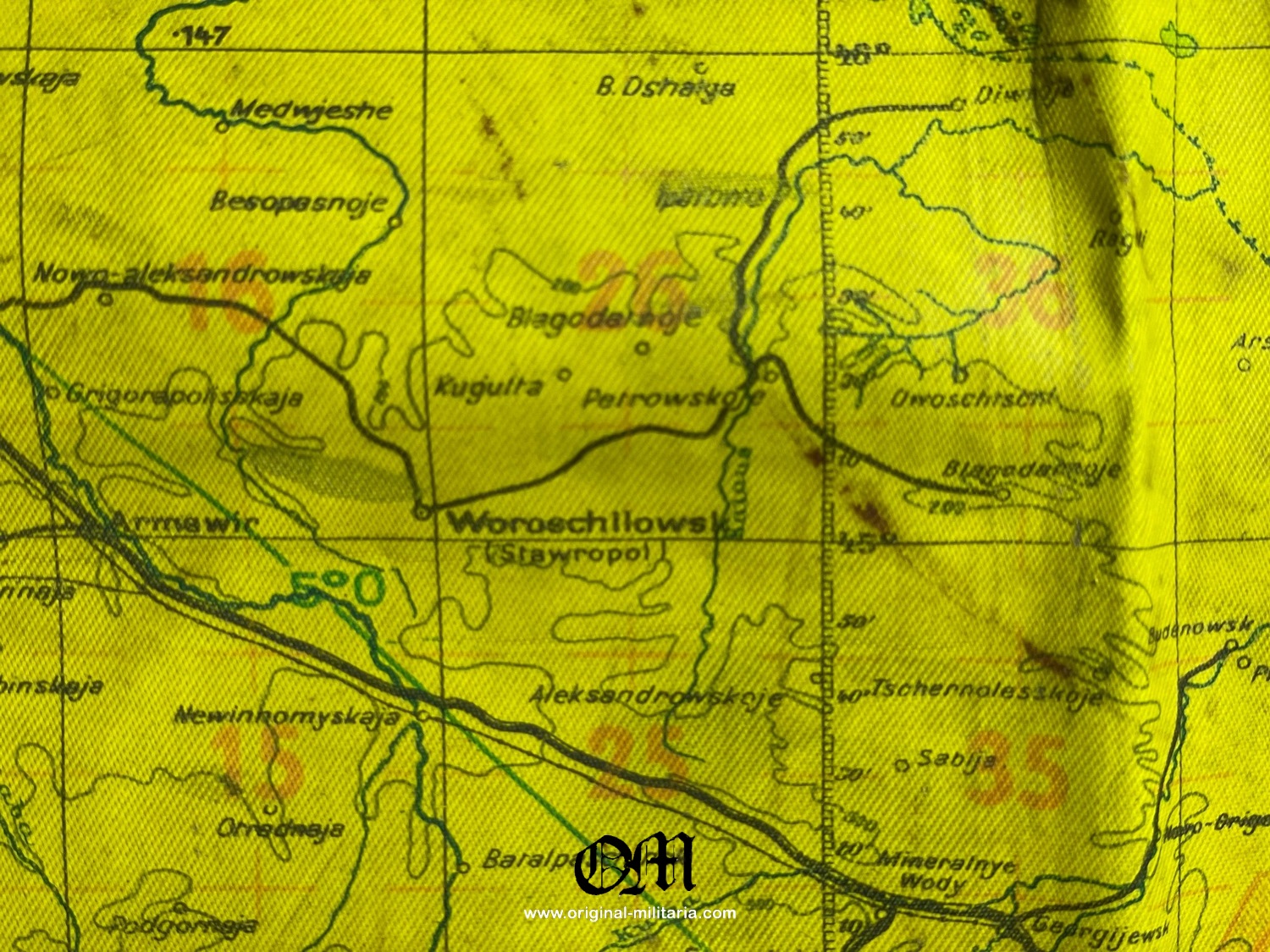
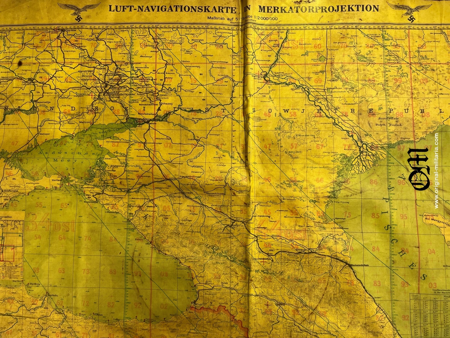
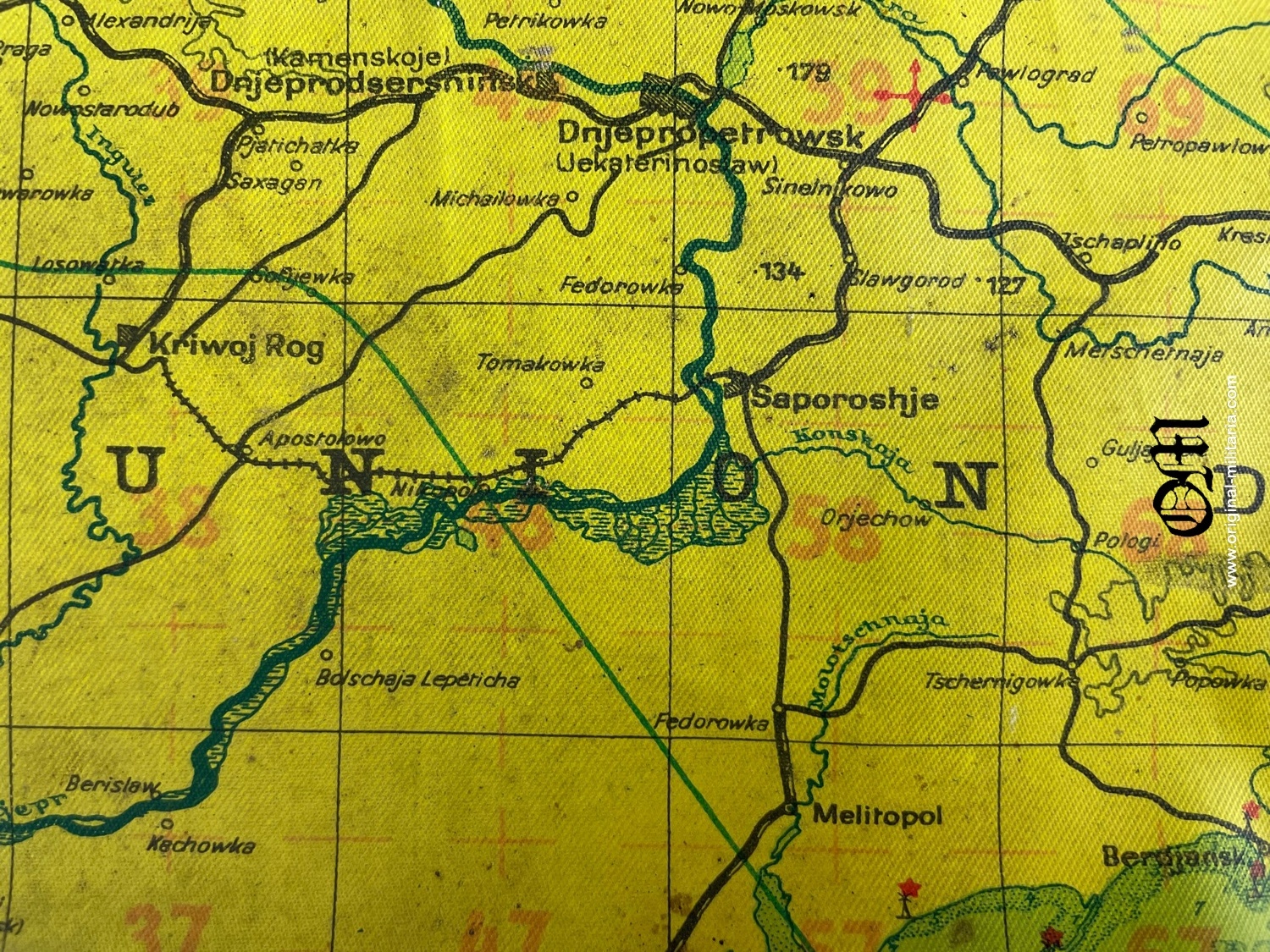
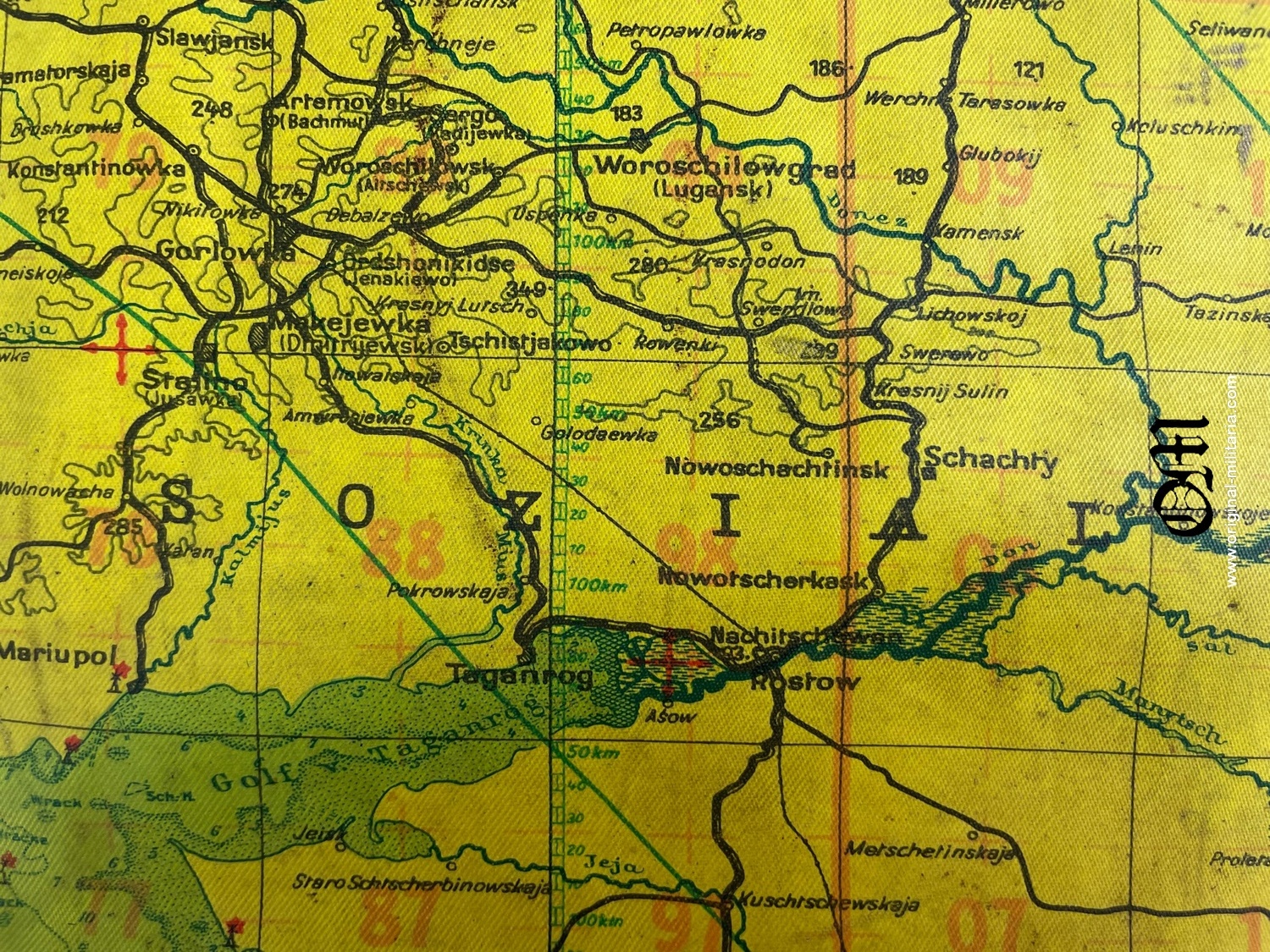
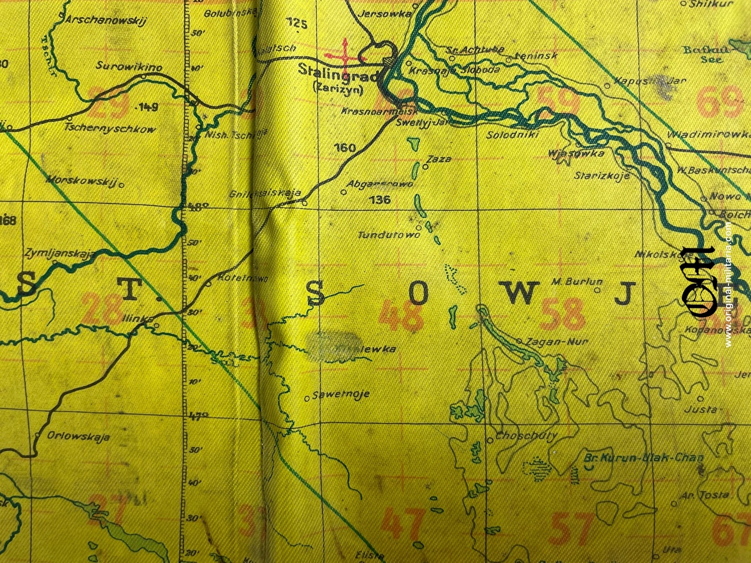
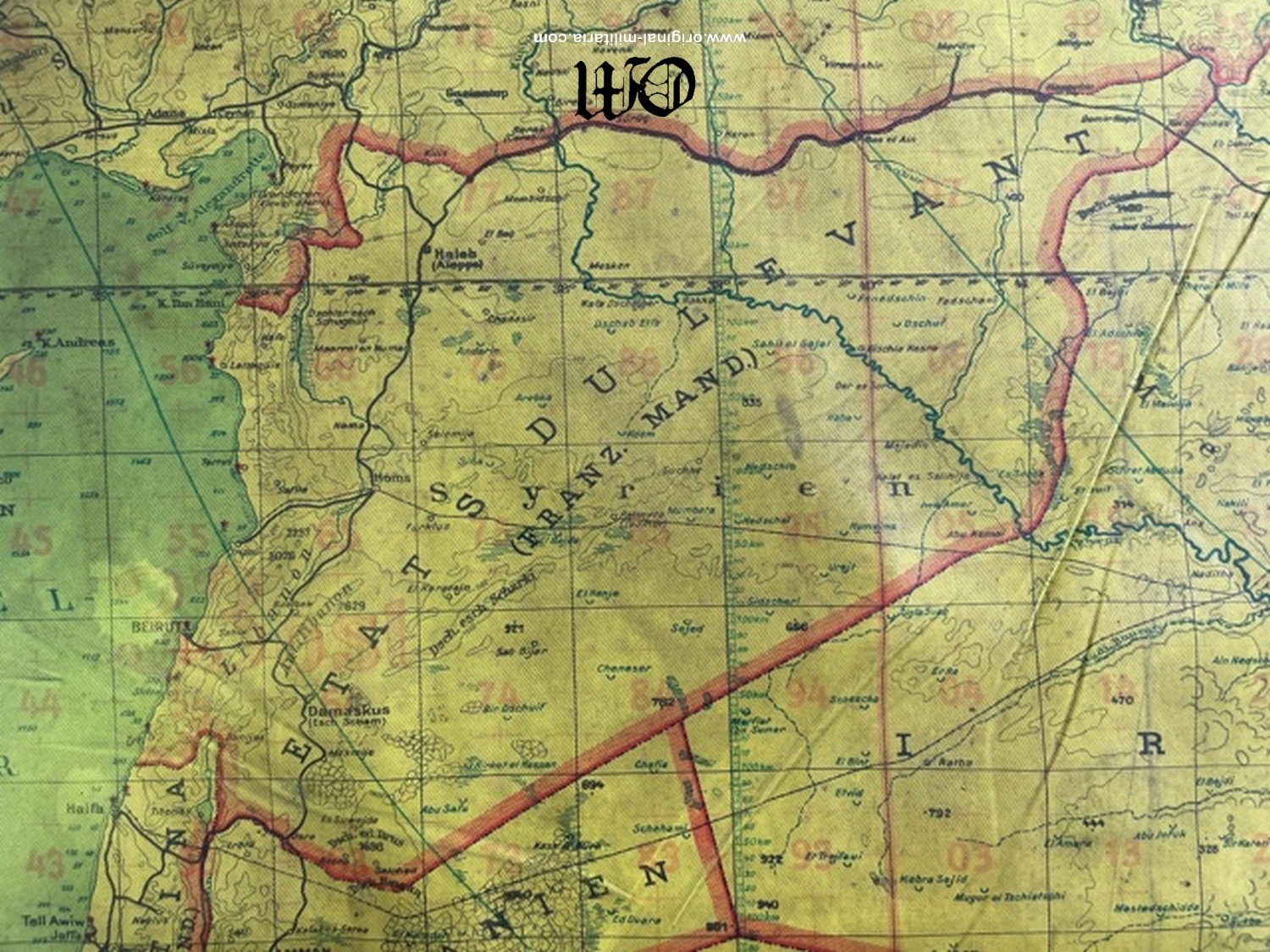
Night Raid Flight Navigation Map (Navigationskarte), roughly 95 cm x 121 cm, 1:2,000,000 scale, dual sided, yellow tinted, multi-color, printed, oilcloth construction. Featuring the black printed heading, “Blatt 8 Vorderasien”, (Sheet 8 Near East) to one side and, “Blatt 9 Östliches Vorderasien”, (Sheet 9 Eastern Near East). The Near East side of the map covers the central, eastern, part of Russia and includes the eastern part of the Black Sea including the Crimean peninsula and the eastern tip of the Mediterranean.
The main Soviet towns/cities on the Near East side of the map include, Charkow, Rostov and Stalingrad. The Eastern Near East side of the map covers the central, eastern, part of Russia. The top edge of each side of the map has two, black printed, Luftwaffe style eagles clutching canted swastikas in their talons, flanking the heading, “Luft-Navigationskarte in Merkatorprojektion”, (Air Navigation Map in Mercator Projection).
Both sides of the map show all the topographical features such as elevations, rivers, lakes and seas and also shown are villages, towns and cities, as well as the road and rail networks. The bottom edges of both sides also have additional, black, printed script, “Herausgegeben vom Generalstab der Luftwaffe”, (Published by the General Staff of the Air Force), with dates of “1940” to one side and “1941” to the other side. The bottom edge of both sides also have additional printed script which includes, “Magnetische Mißweisung für 1938”, (Magnetic Declination for 1938), and, “Stand der Bodenorganisation: 25. 2. 1942”, (State of the Ground Organization as of February 25TH 1942). The map is in overall very good condition with minor age toning, light vertical and horizontal fold creases.